468x80 Banner

Collapse

Announcement

Collapse
No announcement yet.

Aerial Photos - West Bay to Port O'Connor

Collapse
X
 
  • Filter
  • Time
  • Show
Clear All
new posts

  • #16


    Walker

    Anegada, BVI (N18° 44.683' W64° 24.133')
    and
    Houston (Clear Lake City)

    Comment


    • #17
      Really nice album and post. I would have enjoyed that flight myself.
      Just mind over matter, if you don't mind it don't matter. If it matters you better mind!

      Comment


      • #18
        Super cool post and pics Walker!!!! Thanks
        http://www.theshallowist.com

        Comment


        • #19
          Having studied the pics for a few days - I have several new places to try out, plus a better understanding of the places that I normally fish.

          Plus - a few surprises (for me) - places not that far away - that really look promising. Hint: look at those oysters!.
          Walker

          Anegada, BVI (N18° 44.683' W64° 24.133')
          and
          Houston (Clear Lake City)

          Comment


          • #20
            Wow! I just spent about an hour going on that ride. So many questions about what I see in there, especially #370. Thanks for doing such an awesome job on the pics of the Blockade Runners. WOW! Just awesome man. That was very cool of you to do that.
            From 1970-1997, true heaven on Earth existed on the banks of Bayou Cook. "Hey Dad, Thanks for buying the Camp."

            Comment


            • #21
              Walker,
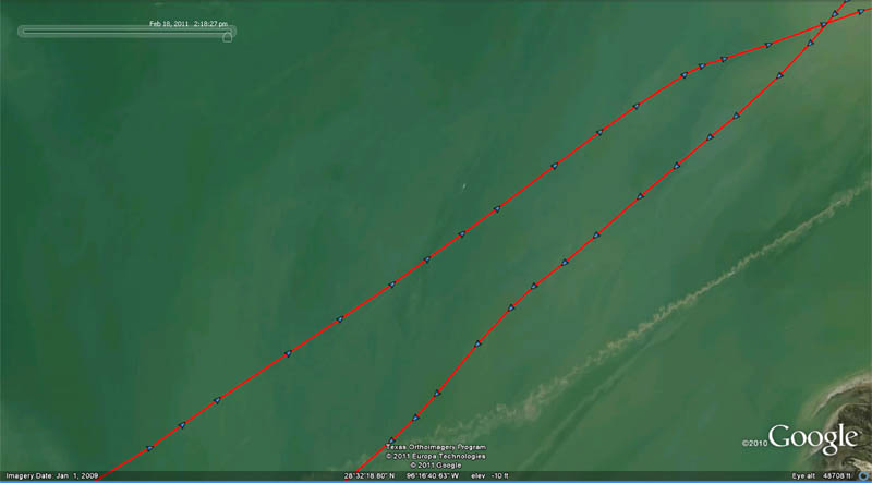
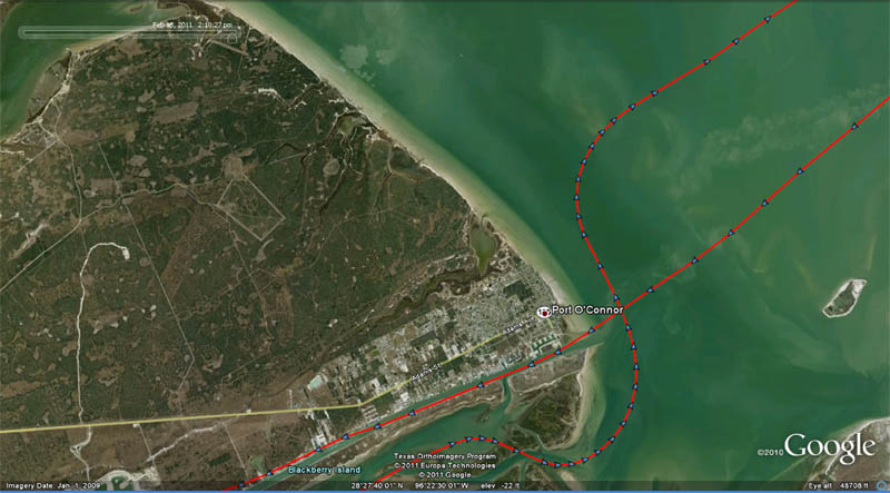
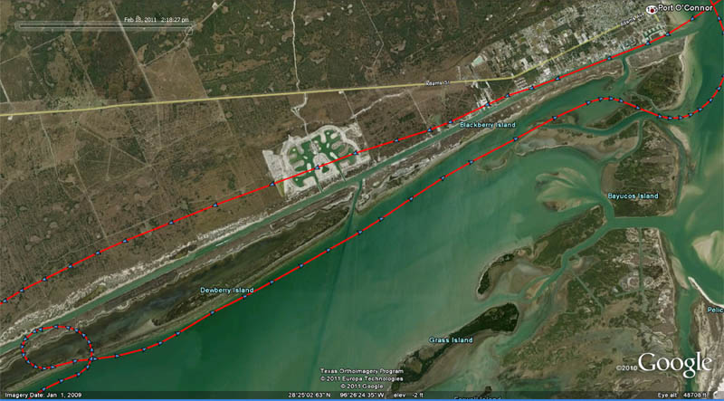
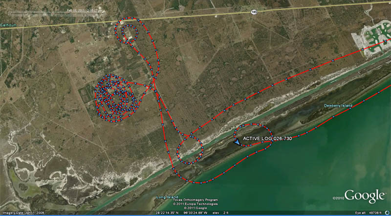
              I've got to know: what was the reason for the convoluted flight path? It's fascinating!
              The photos are fabulous too! Thanks for the great post!
              "Curmudgeon only pawn in game of life."


              Comment

              Working...
              X